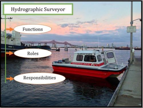
Hydrographic Surveyor – Functions, Roles and Responsibilities
When it comes to management of maritime construction and navigation, it is very important to have the facts and figures clear in order to build a shield against any potential hazards. Technology is now used to gather all the real time reports related to maritime construction, navigation, and port maintenance. This process is called hydrography.
Hydrography is basically the science of surveying the physical features beneath water bodies like oceans, seas, lakes, and rivers. This is followed by measurement of other related factors to predict their change over a period of time while preventing disasters. A hydrographic survey is a strenuous and multi purpose activity, which is used for purposes like water power, harbor engineering, river works, and irrigation, disposal of sewage, flood control, and land reclamation.
An organization that conducts the process of hydrography is confined to the boundaries of a country. But, the coordination of such bodies and standardization of product is conducted by the International Hydrographic Organization (IHO). The IHO aims at publishing standards and specifications to enhance hydrography and safe navigation.
Role of a Hydrographic Surveyor:
A hydrographic surveyor should be trained in handling different technologies working behind hydrography, such as electronic sensors, side scan sonar, and multibeam swath systems for underwater obstructions and the light detection and ranging (LIDAR) for shallow water. However, they are equipped with additional tools for collection of data on site and recording them to correct the surroundings.
A surveyor collects information through hydrographic surveying to develop nautical charts that include breakwaters, available depths, improved channels, and peers. This data is used to detect the loss in capacity occurred due to silt and other calamities.
Modern Technologies and Future of Hydrographic Surveying:
As mentioned earlier, a lidar can be used to survey in shallow water areas. This equipment is installed along with single-beam, side scan and multibeam equipment in movable carriers like,
- Autonomous Underwater Vehicles (AUVs)
- Zodiacs
- Small Craft
- Unmanned Underwater Vehicles (UUVs)
Different techniques and standards are used today to collect hydrographic data to secure maritime functioning and develop bathymetric charts. With improved computer processing and data collection methods, the data is gathered under one single standard and extracted for one specific use.
This extracted data goes for post-processing and stored for different other purposes. The surveyors nowadays are expected to be more responsible and updated with latest and surveying methodologies. Hydrography is going to be one the most important technique in building and securing maritime navigation in the near future.
Advertise on APSense
This advertising space is available.
Post Your Ad Here
Post Your Ad Here
Comments